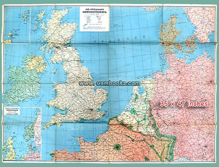
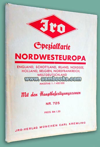
This is a fine original 1940 dated Spezialkarte Nordwesteuropa, a multi-color German map of north-western Europe. It covers the entire area from Brittany on the western coast of France, to England, Ireland, Scotland, Holland, Denmark, southern Sweden and the western part of Hitler’s Nazi Germany. Berlin is on the right-hand edge, Munich in the bottom right corner.
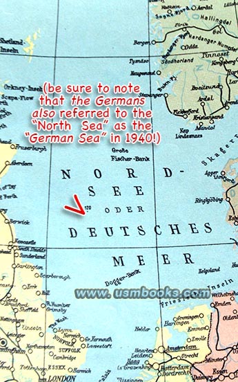
It also includes the Hauptbefestigungszonen or Main Protection Zones (in green) and please note that the North Sea is also called the “German Sea” on this early World War II Nazi color map!
It also includes the Hauptbefestigungszonen or Main Protection Zones (in green) and please note that the North Sea is also called the “German Sea” on this early World War II Nazi color map!
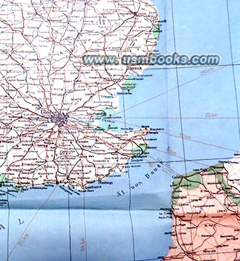
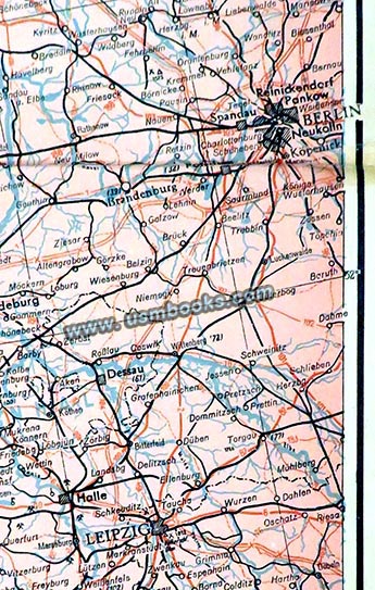
The scale is 1:1,400,000, and it measures 35 x 47 inches. It was produced by JRO-Verlag München Carl Kremling in 1940 and is in very nice used, but fragile condition. The 85 year old map has a few tears on the folds and a few small old (German) tape repairs, no odor.
Have a look at other original Third Reich civilian & military maps for sale on USMBOOKS.com, including a Nazi map of Germany's western borders and the Westwall. We are happy to combine shipping of multiple purchases!
for $95.00 delivered by USPS Ground Advantage in the continental USA. |
| • IF you prefer faster and safer Priority Mail shipping with USPS Tracking add $9.75. |
| • IF you wish to purchase highly recommended, but optional insurance, add $3.50. |
| • We will be happy to ship abroad at additional cost, however foreign customers are responsible for any VAT payments, import duties and clearing fees. Please inquire. |
LARGE ORIGINAL 1940 NAZI COLOR MAP OF NORTH-WEST EUROPE |
AN ORIGINAL 35 x 47 INCH NAZI COLOR MAP OF ENGLAND, SCOTLAND, IRELAND, HOLLAND, BELGIUM, NORTHERN FRANCE AND WESTERN GERMANY

